We urgently need an end to these false assurances. The public must decide whether it wishes to continue on the present road, and it can do so only when in full possession of the facts. Rachel Carson
Provide Customized Toolset for Disaster Mitigation
SISYPHUS team is leveraging leading-edge tech to confront the complex and immense climate change issues with an interactive XR user interface that AI calculates hazard risk and mitigation information from a GIS/BIM database structured within a crucial CLIMATE JUSTICE & EQUITY framework for a consistent and systematic shared resiliency.
GIS
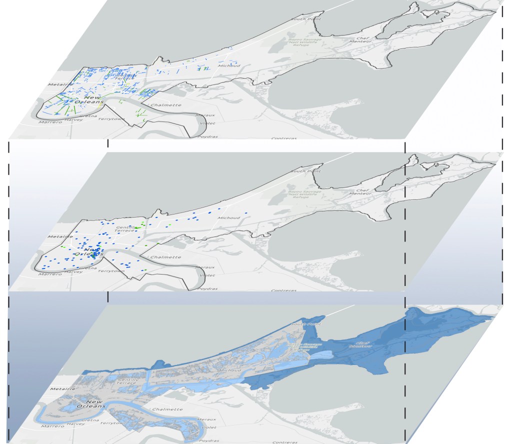
Geographic Information System is a geospatial software that is used to create, view, manage, and analyze maps embedded with statistical data. We utilize Esri map overlay to build a vast database of interconnected socioeconomic, urban planning, geographical, and other essential data map layers at different aggregation levels.

BIM
Building Information Modeling is a comprehensive process of managing data in the architecture, engineering, and construction industries. This intelligent model integration of multi-disciplinary data to produce a digital twin across the structure carbon-footprint lifecycle (e.g., planning, design, construction, operation).

AI
Artificial Intelligence is the utilization of computers to simulate human problem solving and decision making from vast datasets with high speed. We utilize IBM Watson Studio in the recommendation engine supervised machine learning and Watson Assistant for the chatbot user flow.

XR
EXtended Reality is an umbrella term covering virtual reality (VR), augmented reality (AR), and mixed reality (MR). The innovative and intuitive XR communication medium will be able to simply present the interaction of the many different cost-benefit variables at separate aggregated levels to improve the user journeys.

Scale
Our inductive ground-up data, code and method will allow us to comprehensively understand the people and their interconnected problems in order to collaboratively create climate action solutions. We will incorporate GIS, BIM, AI and XR tech as we scale in aggregation (e.g., organization, geography).
